The Altiplano (Spanish for “high plain”) or Andean Plateau located in west-central South America, is the most extensive area of high plateau on Earth outside Tibet. The bulk of the Altiplano lies in Bolivia, but its northern parts lie in Peru, and its southern parts in Chile & Argentina.
There are impressive « salares » or salt flats due to its aridity, dominated by massive active volcanoes and several sites of pre-Columbian cultures, including the Chiripa, Tiawanaku and the Inca Empire. That makes this trip so unforgettable.
Day 1
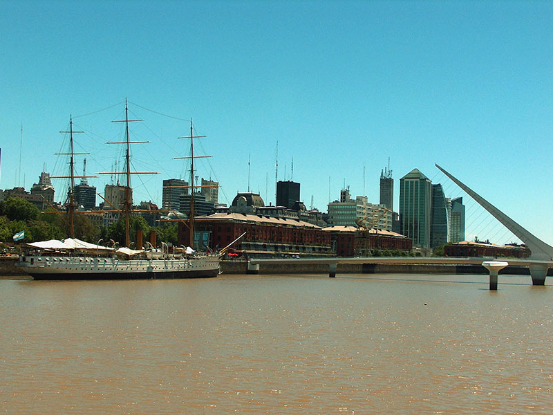
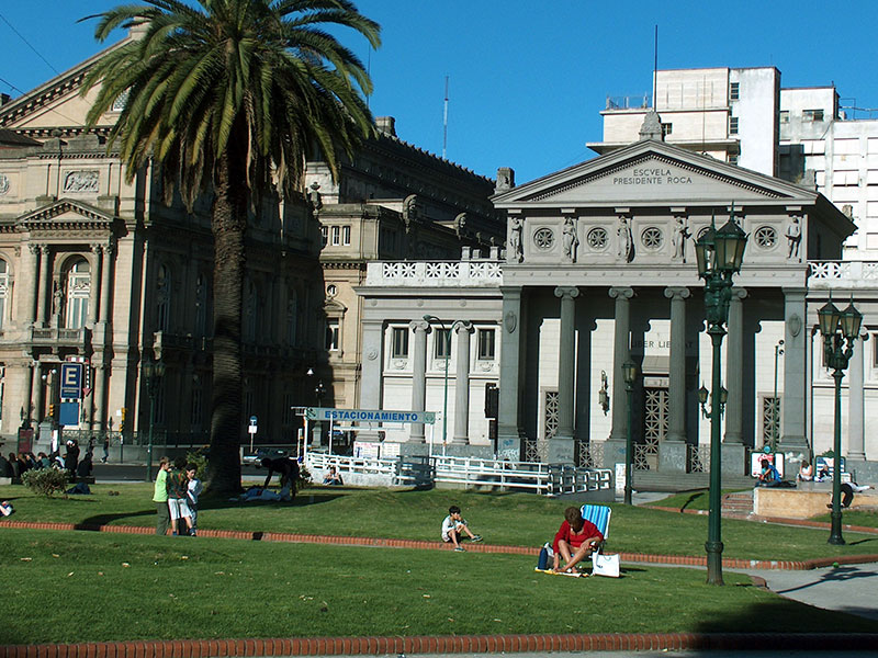
Buenos Aires
Arrival at Buenos Aires airport and transfer into the city. 1 overnight stay at Hotel Serena, in the nice Recolate area.
Day 2
Buenos Aires – Salta
Transfer to the airport and flight to Salta city. Transfer and 1 overnight stay at Kkala hotel.
In the afternoon we suggest to explore the historical city, Balcarce street with its stores and restaurants, recommending also a visit of the archaeological museum (inaugurated in 2004), which issues the mummies of three children discovered in 1999 on Llullaillaco volcano, at a height of 6739 meters.
Day 3
Salta – Cachi (B)
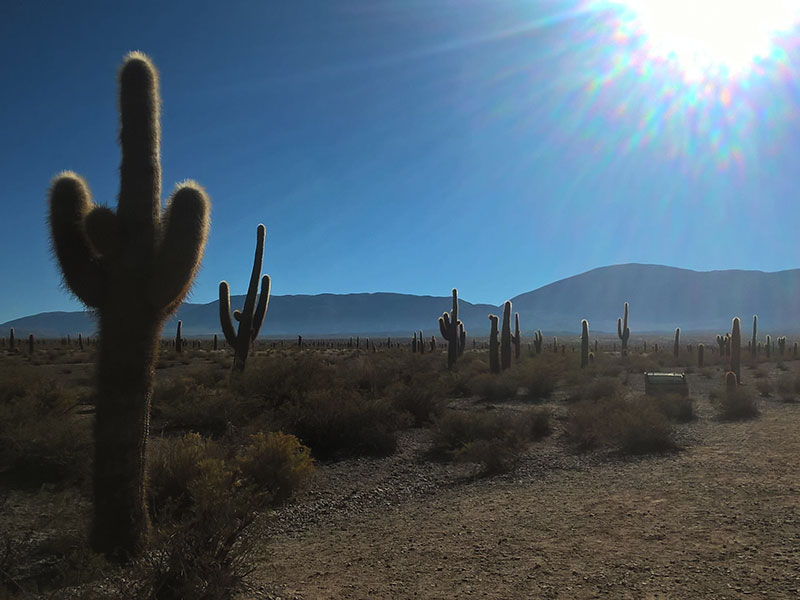
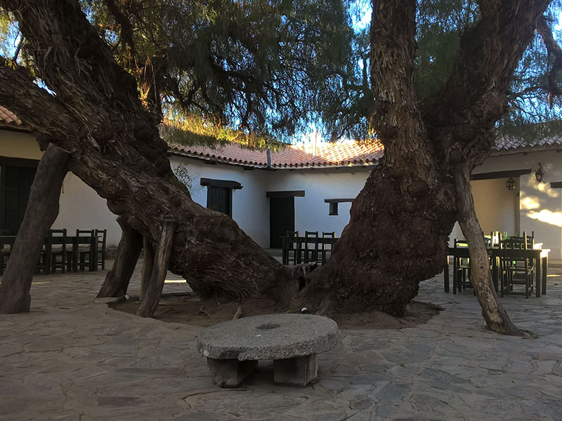
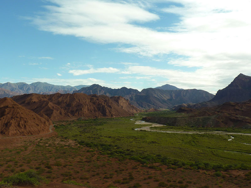
Reception of a hired car at the hotel in the morning. The road between Salta and Cachi is one of the most spectacular paths of the Argentinean Northwest. You will pass through four different ecosystems, from the green jungle of the Yungas to the semi deserted Calchaquí Valley. Ascending the steep Cuesta del Obispo will bring you closer to Paso Piedra del Molino at 3400 meters: Condors flying in the blue sky, Guanacos and wild burros among thousands of Cardones, the local species of giant cactus. Arriving relax under a cozy Molle in the white colonial village of Cachi, where the sun shines almost all year round. 1 overnight stay at the Posada El Cortijo.
Drive distance: 135 km paved & 30 km gravel road.
Day 4
Cachi – Cafayate (B)
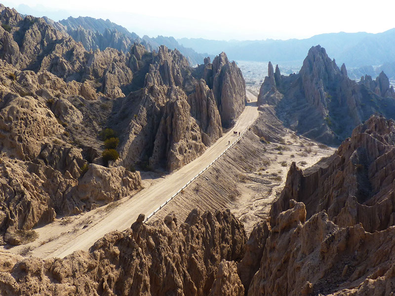
The trip continues southwards along legendary Ruta 40 to Molinos, a small Indian village in the Calchaquí valley, then passing the breathtaking Quebrada de las Flechas until Cafayate, famous due to its production of the Torrontés wine. 2 overnight stays at the Cafayate Wine Resort.
Drive distance: 160 km gravel, 20 km paved.
Day 5
Cafayate (B)
Day free at leisure to visit some wineries nearby. Located within the Calchaqui Valley, Cafayate is arguably the best-known wine region in Argentina outside of Mendoza, and enjoys an excellent reputation due to the quality of the Torrontés and Malbec that is grown here. This region is one of the highest places in the world that is suitable for viticulture.

Day 6
Cafayate | Purmamarca (B)
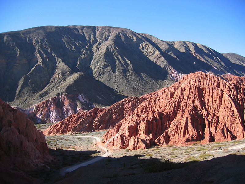
Drive to the north along Ruta 68 through the bizarre and “as painted” Quebrada (canyon) de las Conchas.
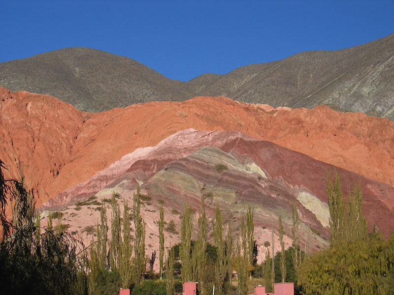
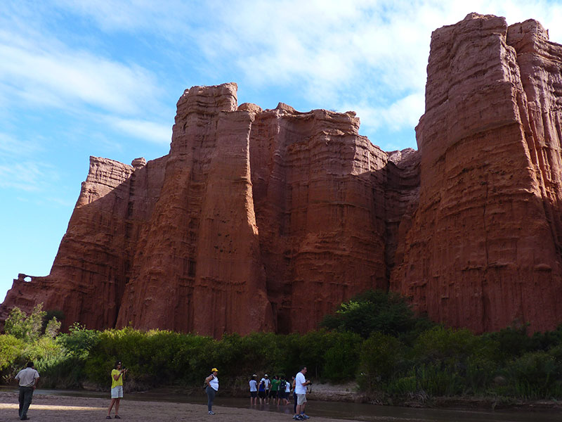
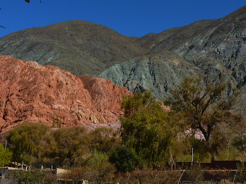
From Salta head towards North along the impressive and so called “jungle Road” or Cornisa via La Caldera to Jujuy and Purmamarca. The Humahuaca Gorge is a large valley that ends at the border with Bolivia and it is located in the province of Jujuy in the far north of Argentina. It is a quite young Valley, given that its formation dates a million years old. The Gorge is famous for its colourful mountains, its geological formations and its historic villages. 1 overnight stay in Purmamarca at the Manantial del Silencio.
Drive distance: 355 km paved.
Day 7
Purmamarca – Salta (B)
In the morning it is worth to visite “The Colorados” on the Western edge of the village, as well as the little stores in adobe houses.
In the afternoon drive back to Salta. 1 overnight stay at nice Finca Valentina, a bit South of the city, in a marvelous surrounding. Car returnee at the hotel.
Drive distance: 165 km paved.
Day 8
Salta - Quebrada del Toro - San Antonio de los Cobres - Santa Rosa de los Pastos Grandes - Labyrinth Desert (northern region) - Tolar Grande (B|L|D)
Distance: 100 km paved road. 250 km gravel road. Altitude: Highest point 4.630 m./ 14.764 feet. Tolar Grande 3.500 m. / 11.483 feet. Estimated driving time: 6 hs.
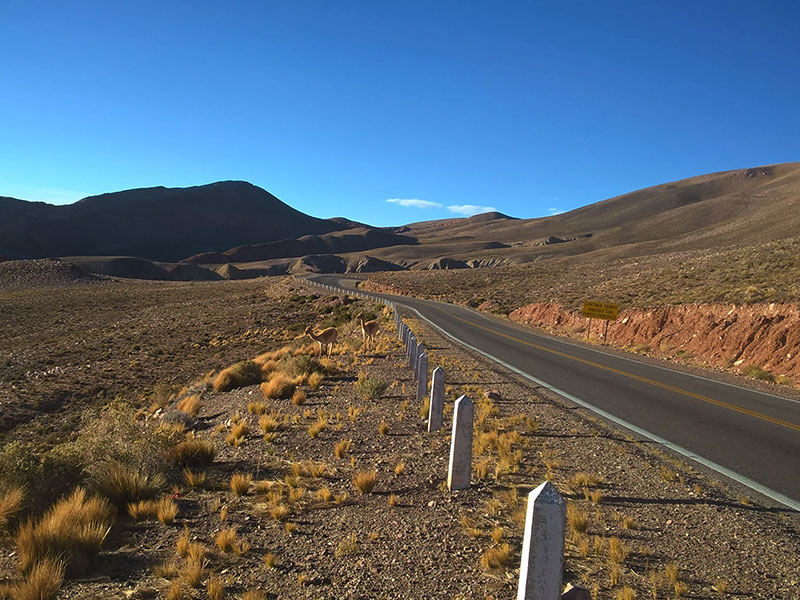
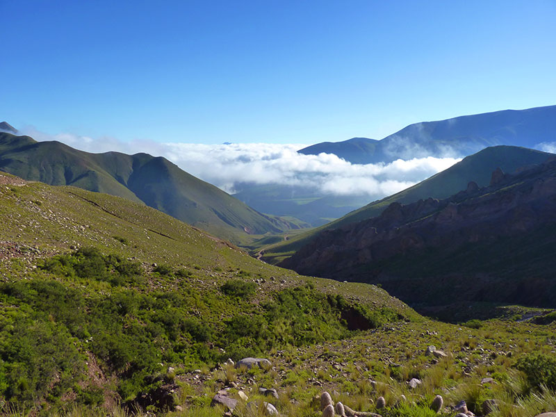
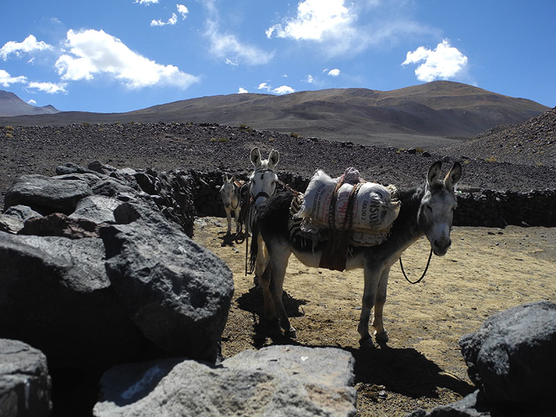
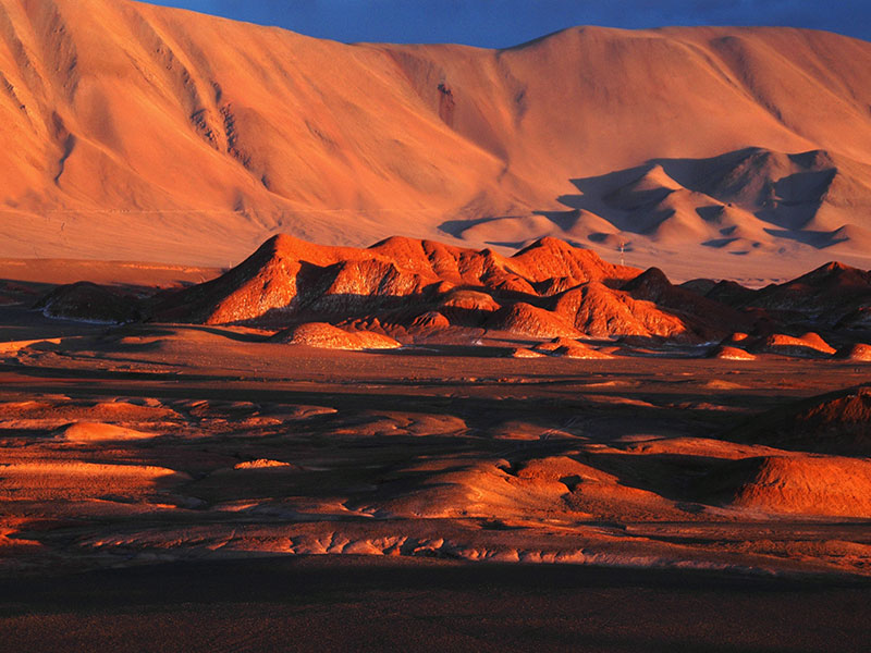
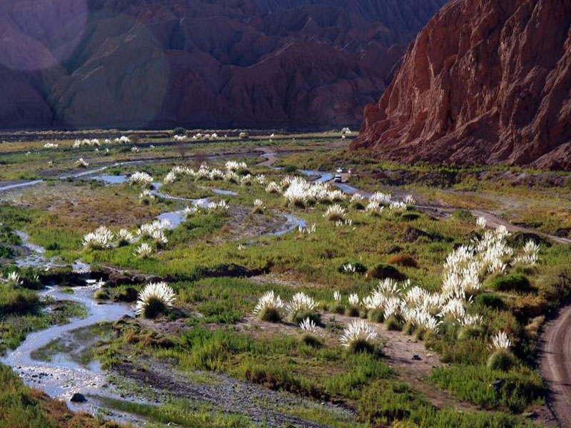
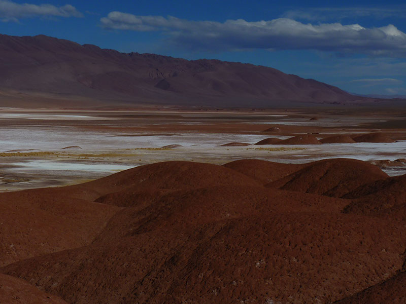
Today beginns a guided tour to the Puna. Just 30 km away from Salta, the Toro’s Gorge is a natural lift connecting the green valley of Salta (Lerma Valley), rich in tobacco and horses with an arid plateau known as Puna. San Antonio de los Cobres is the actual Capital of the Puna, a dusty village with a colored community, our last point of civilization and arrival point of most tourists. The Abra del Gallo at 4.630 meters is the gateway to explore the remotest part of the Puna of Salta. Between yellow fields made of Paja – a Puna native low bush – and lots of Lamas we will arrive to the Region of Santa Rosa de los Pastos Grandes – an ancient oasis used during XIX and XVIII centuries by the Caravan of Cows that where crossing the Andes from Salta to the Atacama region – to feed the animals. Nowadays lives a small community with lots of kids and a small school. The area is perfect for photographers in particular since it is rich in colors, wildlife and small lagoons and salted lakes. Tolar Grande lies at the border of a giant depression, the Salar de Arizaro, one of the biggest salt flats in the world. From this tiny old railway village built in 1940, there is a unique view over the western ridge of the Cordillera and an infinite skyline of Volcanoes higher than 6.000 meters.
Day 9
Full day to Explore Tolar Grande
Option A:
Tolar Grande | Salar de Arizaro | Oasis de Antofallita | Cono de Arita | Tolar Grande (B|L|D)
Distance: 260 km earth track and salt road / Altitude: Highest point 4.000 m./ 13.123 feet. Tolar Grande 3.500 m. / 11.483 feet.
Estimated driving time: 5 hs.
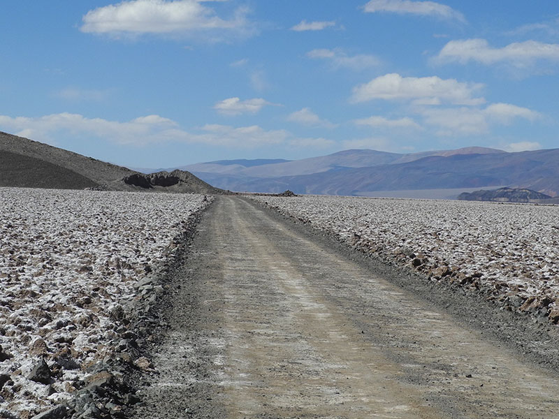
Our traditional excursion from Tolar Grande is the crossing of the Arizaro Salt flat and the visit of the Oasis of Antofallita, home of two inhabitants in the middle of the Puna Desert. By travelling across the Arizaro we will be repeating the ancient itinerary of the Arrieros (Shepherds guiding caravans of animals to Chile). The word Arizaro means Vultures Cemetery and it comes from that period when many animals perished during the crossing of the salt flat, finally becoming unlimited nutrition for the Buitres. Antofallita is an important and spectacular example of a Puna Oasis. In the middle of a high altitude desert there is a green valley, thanks to a natural and pure water spring, full of Alamos, Molles and Sauce trees. Antofallita along with Antofagasta de la Sierra and Santa Rosa used to be important stations for Llama Caravans connecting this part of the Andes with the Oasis of Atacama. On the way back we’ll visit the mining camp of Arita (onyx and copper) enjoying the best view over the Arita Cone, a volcanic pyramidal black cone raising in the middle of the white plain of salt of Arizaro.
Option B:
Tolar Grande | Caipe | Salar de Río Grande | Mina Casualidad (Mina Julia) | Tolar Grande (B|L|D)
Distance: 130 km paved road. 180 km earth track and salt road / Altitude: Highest point 5.200 m./ 17.060 feet. Tolar Grande 3.500 m. / 11.483 feet. Estimated driving time: 7 hs.
Mina Casualidad was a Mining City located in one of the most remote and amazing places on Earth. Just at the limit with Chile surrounded by the Highest Volcanoes of the World, between Sulfuric Mountains, Salted Lakes and Cobalt sky at 4.200 meters, used to live 3.000 people. Miners were working at 5.200 meters and their families and the administrative staff at the City of Mina Casualidad. The mine had been shut down by the Army during the 70’s and today Mina Casualidad is a unique Ghost Town.
Caipe was the old railway station where the mineral processed in the mine city was carried on cargo train and then transported to Salta. From the abandoned station, the traveler can have a wide view of the giant Salar de Arizaro. In the afternoon on our way back to Tolar Grande, with just the perfect light of the sunset, all the Puna will offer its best scenery.


Day 10
Tolar Grande - Blue Salt lakes - Labyrinth Desert (southern part) - San Antonio de los Cobres - Salta (B|L)
Distance: 100 km paved road, km 250 gravel road / Altitude: Highest point 4500 m. / 17.764 feet Salta 1.200 m. / 3.937 feet.
Estimated driving time: 6 hs.
The surroundings of Tolar Grande offer the chance to go on great short hikes. The best one is the hike to a hidden sand dune. From the high peak of the dune the traveler will be rewarded with a 360° degree view over the area, from the Sacred Macon Mountain to the Llullaillaco Volcano, where National Geographic discovered in 1999 at 6.735 meters an Inca Treasure including the body of 3 Inca children perfectly kept by ice and dryness. On our way back to the Labyrinth we’ll visit Ojos del Mar Blue-Green water holes where the shapes of the volcanoes are reflected in the morning. As it often happens, while travelling in the NW of Argentina, the narrow valley offers different landscapes according to the sunlight and the time of the day. The Toro’s Gorge, at downhill, will offer a warm last goodbye to the Puna and its Planetary Geology.
1 overnight stay at Finca Valentina.
Day 11
Salta | San Pedro de Atacama (B)
Transfer to the bus terminal of Salta, where a bus trip starts at 7 AM towards Purmamarca and here ascending the impressive Cuesta de Lipán and passing the huge Salinas Grandes salt flat. Crossing Paso Jama you reach Chile and descent to San Pedro de Atacama. At arrival (aprox. 6:30 PM) taxi on your own to the hotel. 3 overnight stays at Hotel Altiplanico.
Drive distance: 615 km paved.
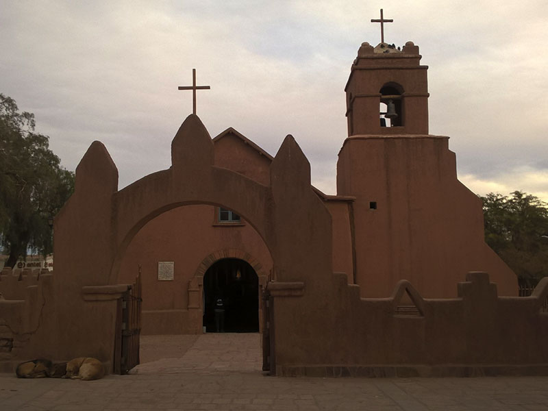
After check-in you will have the possibility for a first walk throughout the village. The Andes Mountain Range offers to you a great view recognizing the volcano Licancabur and Juriques, and the smoky cloud from the crater of Lascar volcano.
Day 12
San Pedro de Atacama - Ruins of fortress Quitor - Museum (B)
In the morning 8:30 AM reception of a hired car at the local Europcar city office.
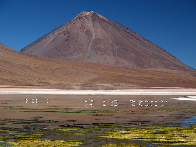
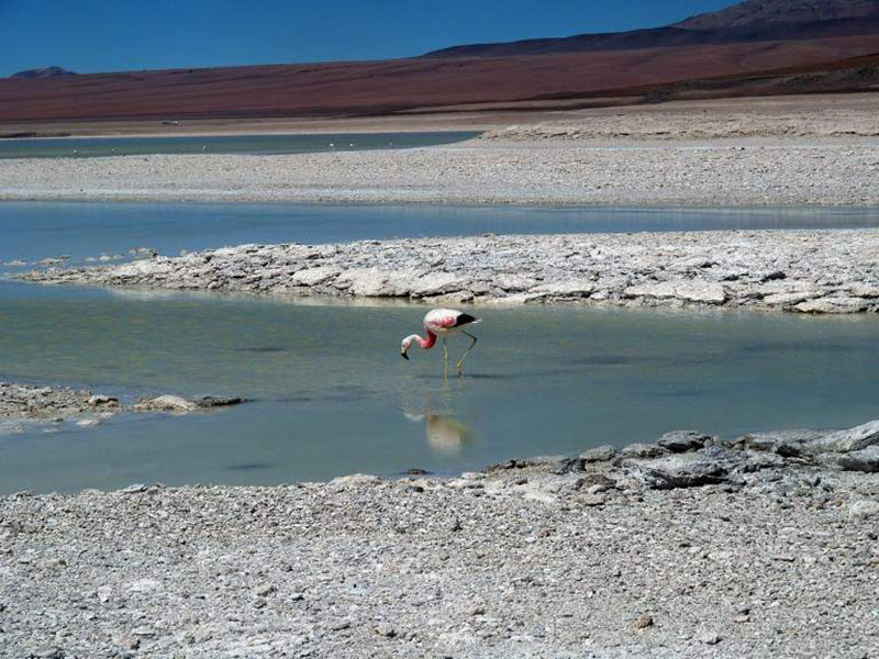
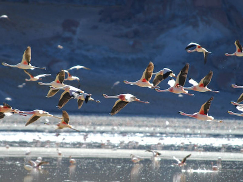
Visit to the Atacama Salt Flat. You can observe flamingos at the Chaxa Lagoon, the Tropic of Capricorn only some kilometers away from here (the imaginary line that separates the tropics from the moderate climate zone). You can also visit the village Socaire, a pre-inka settlement with vegetable gardens in terrace form on 3.300 m.
In the afternoon you can walk about 3 km to the ruins of Quitor. You climb up the protection facility from IX-XII century and enjoy a 360° panorama: the Andes in the foreground, the salt mountain range in the background and down below the fruitful valley of the river San Pedro.
Day 13
Tatio Geysers - Moon Valley (B)
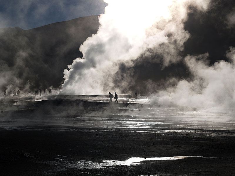
In order to be able to see the steam columns of the El Tatio Geysers, early this morning you start at 05:00 a.m. from 2.400 m. to 4.300 m.o.s.l., herds of vicuñas on your way. From direct proximity you can observe the steaming sources, walking through the field of geysers of the volcano El Tatio. On the way back take a bath at the luxurious Puritama hot springs, of 31°-33° C warm water.
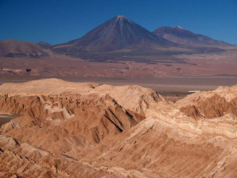
In the afternoon visit the Moon Valley with the possibility to climb up its famous sandy dune and afterwards short drive to the Mars Valley, where you can enjoy the sunset on the Andes.
Late afternoon 18:30 PM car returnee at the local Europcar city office.
Day 14
Hito Cajon – Coloured Lagoons (REA) – Siloli Desert (B|L|D)
Leaving San Pedro, a steep road up the Altiplano takes you to the border post of Hito Cajón, entry point of Lipez region.
Departure at 09:00am from San Pedro.
After a steep ascent to the Altiplano we will pass to the border post of Hito Cajón, the entry point to the Lipez area. We will arrive to the Laguna Verde, below the volcanoes Juriques and Licancabur (el. 5960 m.a.s.l.) by midday and see there the curious phenomenon of the wind changing the color of the Laguna Verde into a spectacular emerald color.
After crossing the Dali Desert (which indeed looks like one of his paintings) we will follow the Laguna Salada and stop at the thermal pools of Polques.
Visit of the Sol de Mañana Geysers (el. 4850 m.a.s.l.) a volcanic crater with sulfuric fumes and heavy water. At the end of the day we will arrive to the Laguna Colorada. The intense red-brick color of this lagoon is due to the light sensitive phytoplancton present in its water.
The track continues through the superb landscapes of the Siloli desrt and its famous “rock tree” where we can spot some viscaches.
Night at the Hotel del Desierto, which is located in the heart of the Siloli desert. Volcanic rocks were used for the walls and the architectural design has been specially chosen to withstand the intensity of the winds of the region.
Day 15
Siloli Desert – San Pedro de Quemez (B|L|D)
Going north along the Chilean border on the scenic “route of the Jewels” which name is due to all the lagoons along its way: lagunas Honda, Ch’arkota, Hedionda, Cañapa, sanctuary for 3 flamingoes species. Stop at the mirador of the volcano Ollague which is still active and contains one of the world’s highest open pit copper mines. The track then descends from 4200 to 3600 meters of altitude. We will cross the small Salar de Chiguana just below the volcano Tomasamil (el. 5900 m.a.s.l.), before arriving to San Pedro de Quemez at the end of the day. Night at the hotel de Piedra, located at south of Salar de Uyuni, in front of a peninsula and in an environment of majestic mountains, the Hotel de Piedra Tayka is built with materials of stone and volcanic sand characteristic of the region.
The use of stone was inspired by the village Quemado next to the hotel. The roofs of the hotel are covered with straw, the traditional material that covers the entire Andean region.

Day 16
San Pedro de Quemez – Colchani (B|L|D)
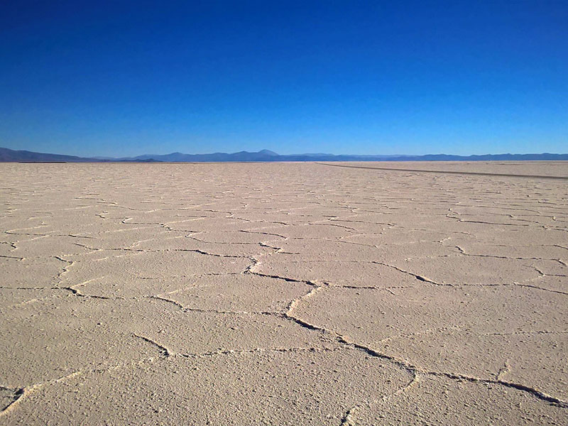
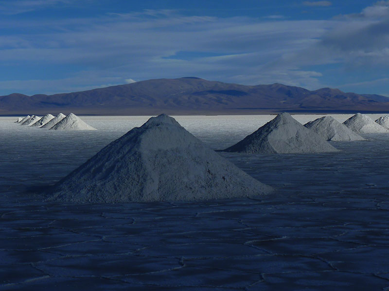
Trip north going parallel to a small range with great formations done by the strong wind and water erosion in the stones, until the village of Alota (1 hour), then north passing the villages of San Agustin and San Juan (2 hours). Enter Uyuni salt flats, a natural wonder with over 10,582 km2 a 3,692 m of white salt in Chuvica, crossing it to visit Incahuasi Island (1 hour), a special habitat of giant cactus and volcanic rocks. Picnic lunch in the salt flats. Trip to the eastern side to Colchani (2 hours), to see the locals producing salt. Don’t miss the sunset!
Overnight at Palacio de Sal Hotel (Breakfast included), an amazing hotel with walls, ceilings, chairs and tables made in salt. The purpose of this special construction is to be in balance with nature and the surrounding landscape also to enjoy a pleasant and unforgettable rest.
Day 17
Colchani – San Pedro de Atacama – Santiago de Chile (B, L)
Long transfer back to Chile. We leave with direction to the Chilean boarder between Avaroa (Bolivia) and Ollague (Chile). We interchange vehicles at the border and continue our long way to Calama crossing the salt flats of Carcote and Ascotan. Arrive atCalama. Transfer to the airport of Calama and flight to Santiago de Chile. Transfer into the city center.
1 overnight stay at Orly hotel.

Day 18
Departure (B)
Transfer to the airport and departure flight.
UYUNI - Climate in northern Chile and Bolivia
The region is subject to a desert and high altitude climate that brings maximum daytime temperature of 45 degrees and a minimum of – 20 at night. The difference from day to night temperatures can easily reach 40 degrees. Highland summer (January-February) is characterized by rain and strong thunderstorms. In this desert and altitude climate, you need protection from the sun, even with colder temperatures.
From December to March, rainfall can occur due to “altiplanic winter” and the itinerary may be modified.
The Salt flat may be flooded so it is possible that you may not be able to drive through it. In this case we will drive around the Salar.
Included Services:
- All overnights in 3*-5* hotels with breakfast included.
- Transfers in Buenos Aires, Salta & Santiago de Chile in private service/English.
- Salta: 5 days rented car Ecosport 4×2 or similar, free mileage, insurance cover with deductible in case of minor damages & accident until U$D 550, GPS and second driver included.
- Regular bus Salta-Atacama.
- Atacama: rental car Subaru Forester 4×4 or similar, free mileage, insurance cover with deductible in case of minor damages & accident until U$D 300.
- Meals & beverages during the guided tour to Tolar Grande Uyuni as mentioned in programme (B: breakfast, L: Lunch/box-lunch, D: diner), drinks for picnics / private transportation during the whole trip, bilingual guide (English), Spanish speaking Bolivian driver, guide(s) and driver(s) expenses, excursions, visits, entrances, park fees mentioned in the program, safety and communication equipment (VHF radios, first aids kit).
Not included
- Flights and airport taxes
- Meals in cities & beverages. All kind of drinks in restaurant and/or hotel meals.
- Fuel costs during the self driving part: about U$D 1,1/l.
- Tips
- Visa if necessary
- Personal insurance
- Personal equipment
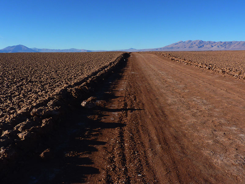
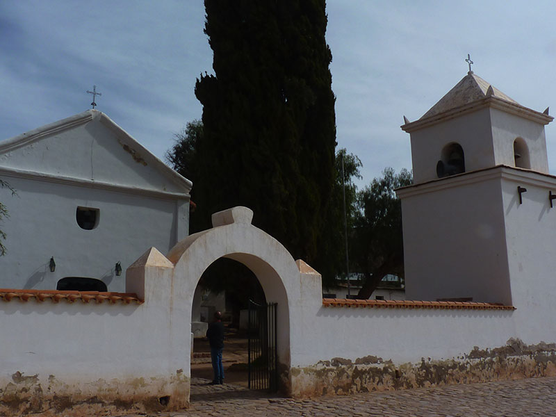
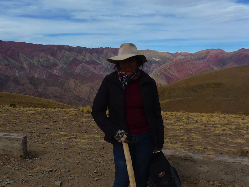
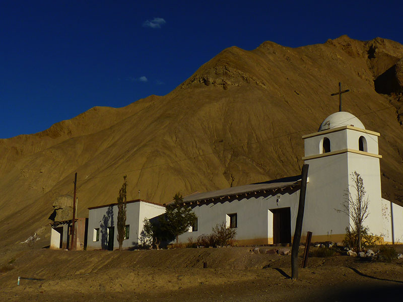
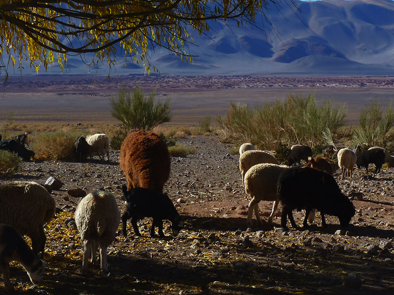
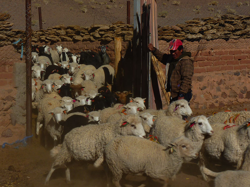
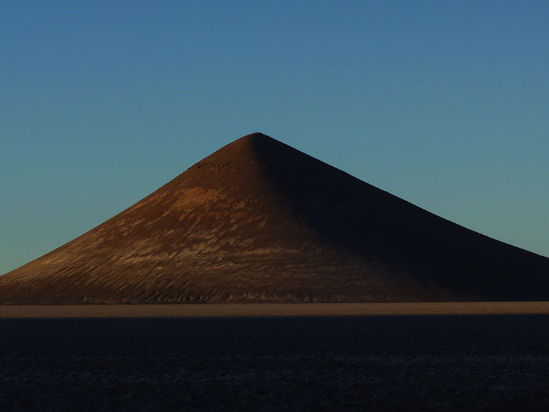
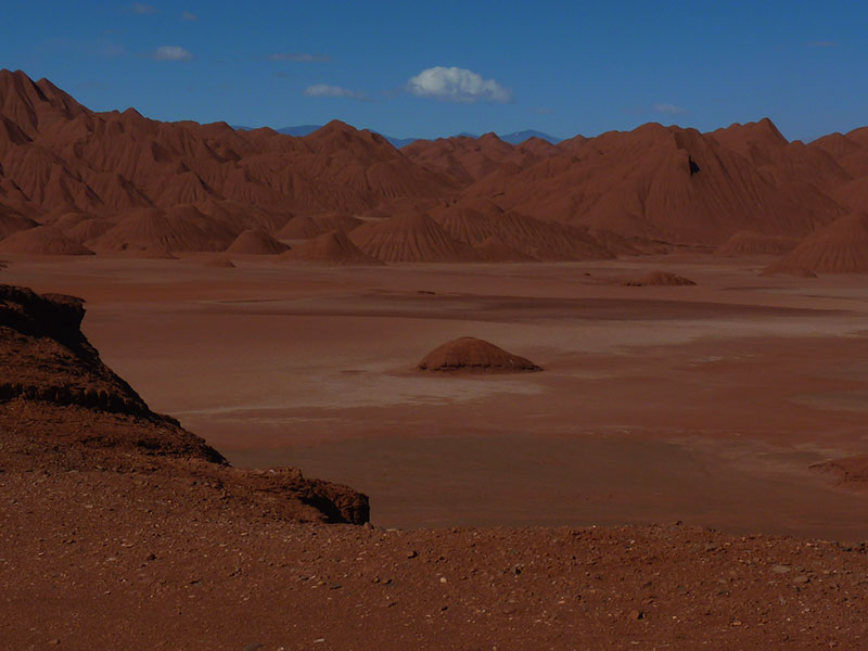
PHOTO GALLERY


ROUTE MAP


MIEMBROS DE